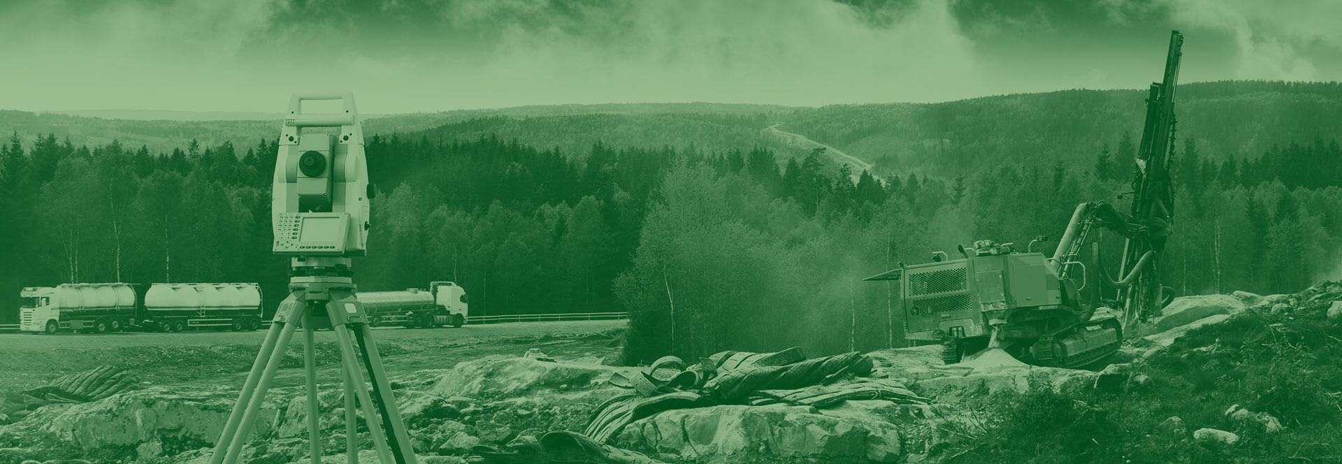
Integrated Earthwork Modelling Solutions
Our unique combination of geospatial technology with traditional earthworks modelling allows for increased certainty, sustainable materials planning and budget forecasting. We drive value engineering.
Need help? Ask our land and resources experts a quick question
Ashfield offers a comprehensive range of land and resources solutions. Please feel free to get in touch so that we can help guide you on the correct path.
Integrated Earthwork Modelling Solutions
Our integrated approach supports construction from the ground up.
We deliver a unique combination of geospatial technology with traditional earthworks modelling which allows increased certainty, sustainable materials planning and budget forecasting. This is a critical part of any remediation strategy or Materials Management Plan.
Digital Earthwork & Terrain Models
Robust earthworks volumes – We understand the importance of this as part of contract sums and the management of contaminated and non-contaminated materials. We go beyond a standard ‘cut and fill’ model.
Digital modelling – Our package includes geological and geochemical data-sets to help understand risks of any land development project
Model iterations – Allows for scenario analysis and value engineering to drive the most sustainable use of available resources
Geospatial analysis
We translate desk-top analysis into real world implementation
We add real value by using leading industry software to collate, interpret and present our clients geospatial data. This can be used for presentations, decision making on development sites and can be integrated into earthwork models. These geospatial mapping systems generate location coordinates and plans allowing ground workers to know where to excavate, what to expect and what to do.
